Dachigam lies to the northeast of Srinagar in Kashmir. Srinagar has an airport with regular connections to other Indian cities. To the West lies Azad Kashmir in Pakistan. To the North and northeast, national frontiers are less clear with both Afghanistan and China. Ladakh is to Kashmir’s east-north-east along the Sindh/Indus valley, to the East of which lies Tibet. The Vale of Kashmir is an exceptionally beautiful and fertile valley cradled between significant muontains; to the southwest by the Pir Panjal Range and to the northeast, the Zanskar Mountains, after which successive ranges rapidly ascend into the high Himalayas.
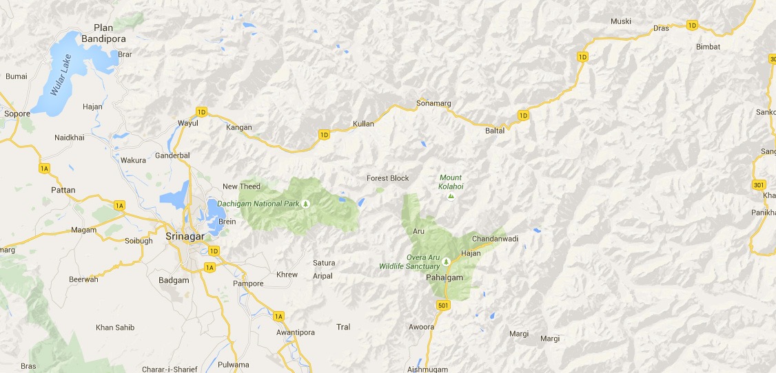
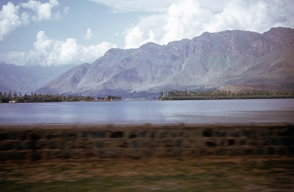
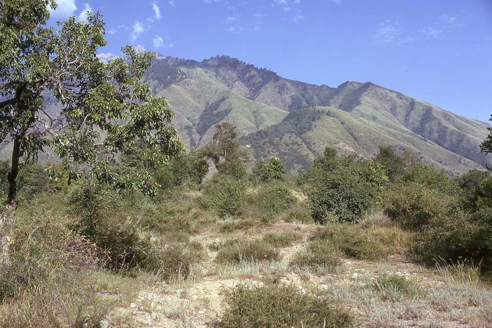
The main entrance into Dachigam NP is from the West end of the Park, to the northeast of Dal Lake, at the left end of the closer mountains shown below.
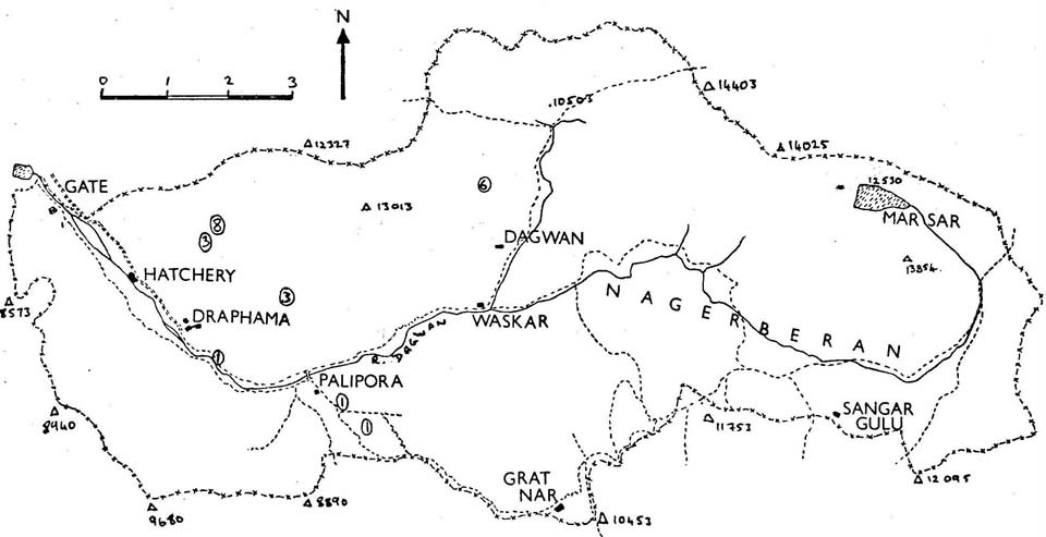
This is a sketch map of Dachigam. The mountains in the picture above form the southern boundary to the Park with peaks rising from 8500’ in the West to more than 12,000’ in the East. Dachigam is a small valley system based on the Dagwan river and its tributaries. Most of the Government- sponsored intrusions lie closer to the Park entrance: the trout hatchery, the VIP Lodge and the former Sheep Breeding Station. The latter has been one of the main causes of the difficulties in conserving the Hangul. The report of the 1974 Cambridge University Hangul project strongly recommended the relocation of the sheep breeding station out of the Park. For an variety of very unsatisfactory reasons, it took more than 40 years for this to happen. The habitat in the valley floor and to the North of Draphama, Palipora and Waskar is ideal for the Hangul, but these were the areas most used by the sheep breeding station. The high pastures around Grat Nar and Sangar Gulu are the main areas where illegal grazing has been worst, from both Gujars (buffalo herders) and Barrwals (goat herders), at higher altitudes. On the slopes North of these areas and down into the valley floor, there has been illegal harvesting of winter forage for domestic animals, thereby depriving the Hangul of winter fodder.
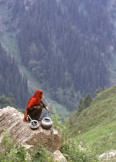
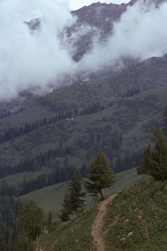
Illegal grazing by Gujars with their buffalo, takes place up to around 10,000’. The buffalo are not well adapted to high altitude, brittle pastures and their habitual paths and tracks act as focus points for soil erosion. Bakrwals graze their goats up to around 12,000’. Goats are well known for nibbling grass right down to soil level, stripping the pastures and also causing erosion problems. The lower grass huts in the photo are Gujars’ temporary dwellings, the lighter coloured tents above are Bakrwals’ camps. The eroded paths are clear in the foreground. In the summer, there is constant movement of both Gujar and Bakrwal people through Dachigam.
The cutting of forage in the summer for the winter feeding of domestic stock deprives the Hangul of winter nourishment.
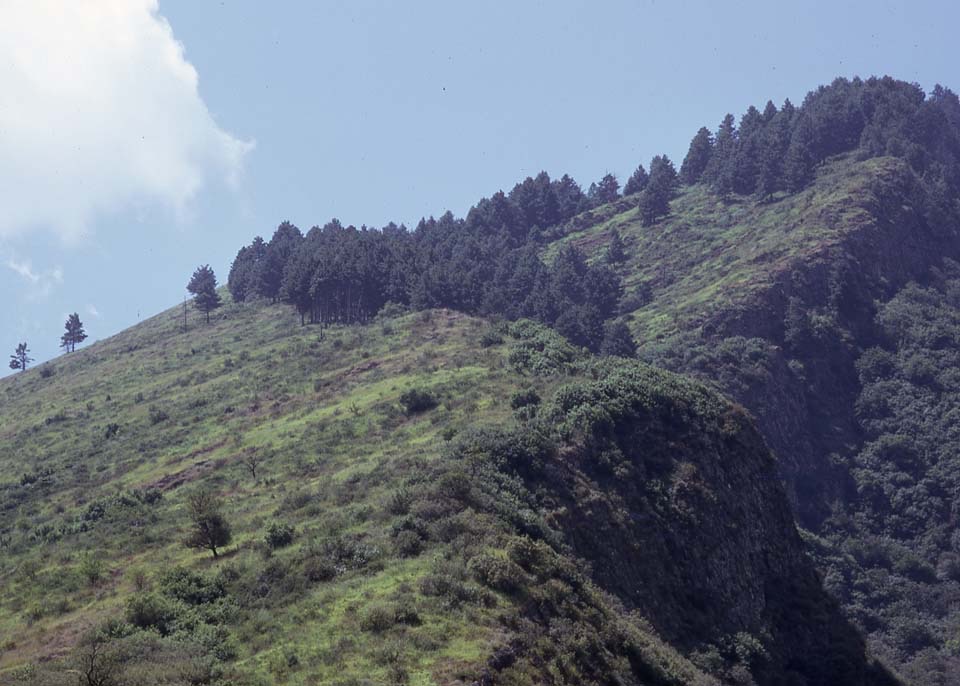
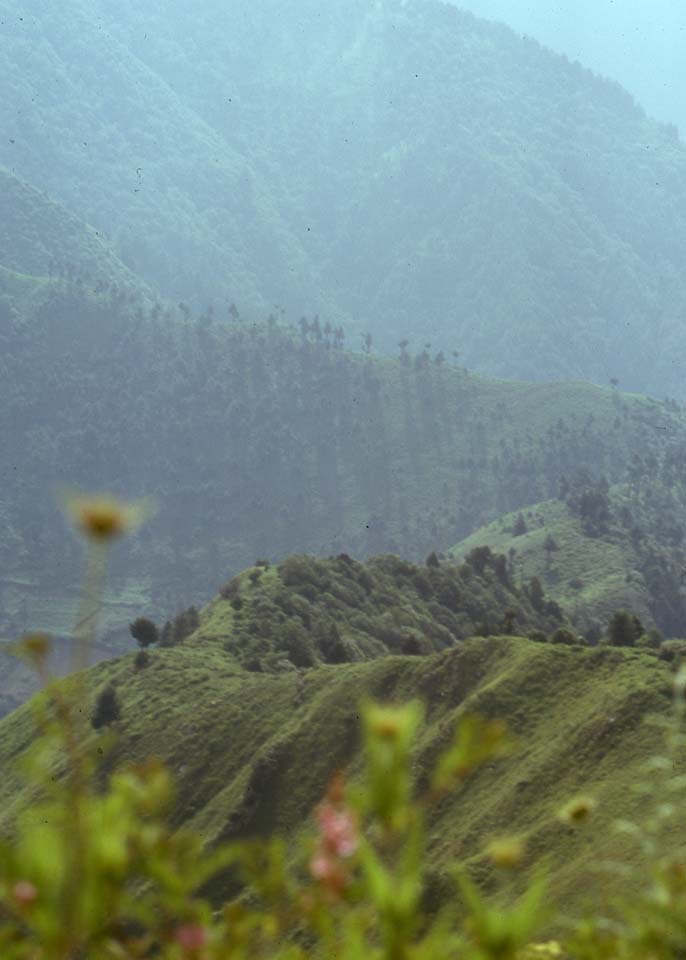
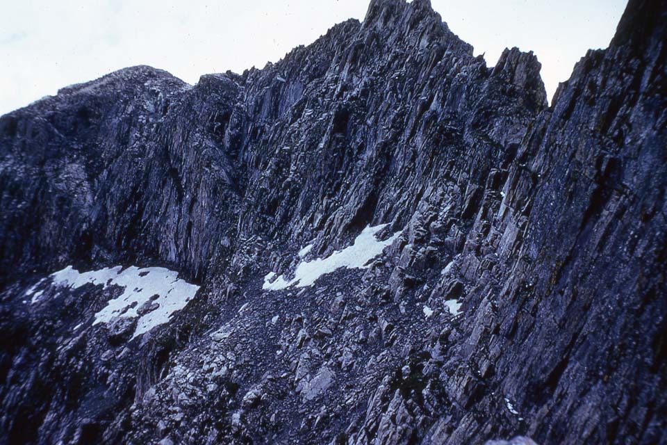
Dachigam’s mountains are deciduous around the valley floor, giving way to pine and then silver birch before becoming jagged, naked rock. The higher limts of Dachigam are around 14,000’. It is hard walking, particularly before one becomes adapted to the higher altitudes.